
Starting on the Sakurajima side of the Aji River, I first take the small ferry service across to the base of Mount Tenpō to begin my perilious climb…
Formed in 1831 from dredging deposits from the Ajigawa, the mountain once had an elevation of around 20 meters, served as a marker for ships entering the river, and became something of an attraction to the people of the area.
After the fall of the Tokugawa shogunate, part of the mountain was levelled for an artillery unit, and industrialisation in the area prompted subsidence over time, until the name was removed from topographic maps – until fierce protests from residents prompted it being reinstated in 1996.
I actually missed the sign indicating the mountain on my first pass – you can see it to the right of the larger monument soon after entering the park. Ironically, it would seem the nearby viewing platform is higher in elevation than the supposed mountain peak? Regardless, it remains a spot of calm in contrast to the nearby shopping mall and tourist attractions.
Recorded: 20 October 2025, 09.15
Camera: Insta360 Ace Pro 2 (Linear, HDR, Standard stabilisation)
Stills: Nikon D7200, Tamron 16-300mm / Samsung S22
Support me through Patreon: https://www.patreon.com/user?u=15918857
#traveljapan #osaka #tempozan #mountenpo #osakaaquarium
00:00 Sakurajima Ferry Dock
00:50 Ferry arrival
02:12 Ferry departure
04:02 Tempozan Park walk
07:10 Spot the Mt Tenpo sign!
09:45 Park statue
11:15 Park observatory
13:42 Historic painting of Mount Tenpo
15:30 Distant sounds of Universal Studios Japan
16:44 Tsunami gate
18:00 Harbour village photo montage
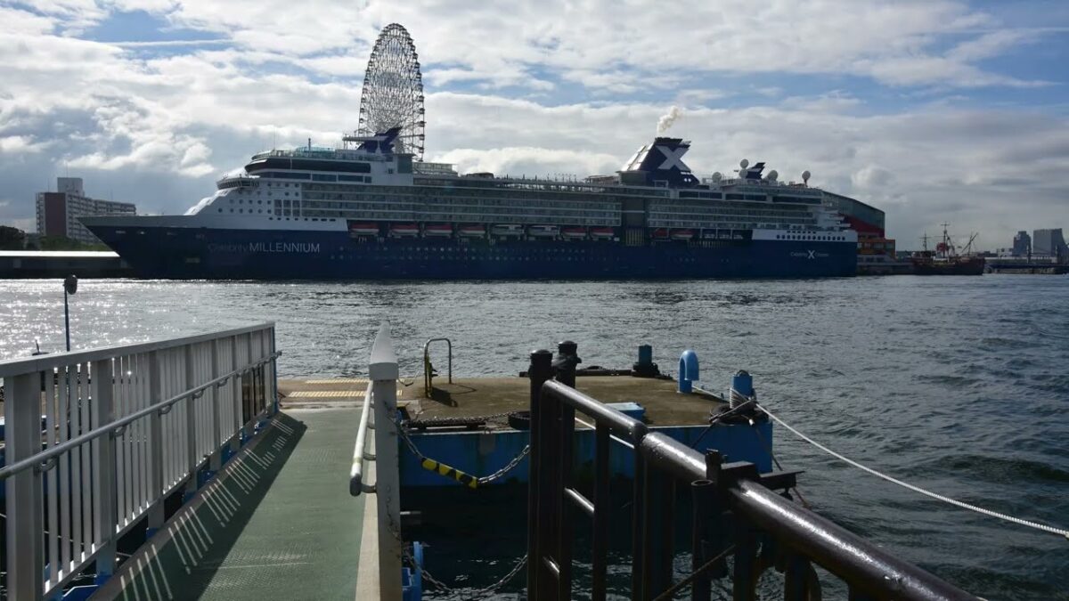
19:34 Ship docking
21:57 Tempozan Marketplace photo montage
22:16 Art gallery
22:55 Animal cafe
23:25 Harbour village walk continues
24:14 Fountains and flowers
26:08 Aquarium letters
27:30 Aquarium plaza
30:05 Osaka Port views
32:55 Santa Maria departure
37:02 Bonus – Santa Maria in motion
38:20 Thank you for watching!